File:Middle East Countries Map.jpg
Jump to navigation
Jump to search
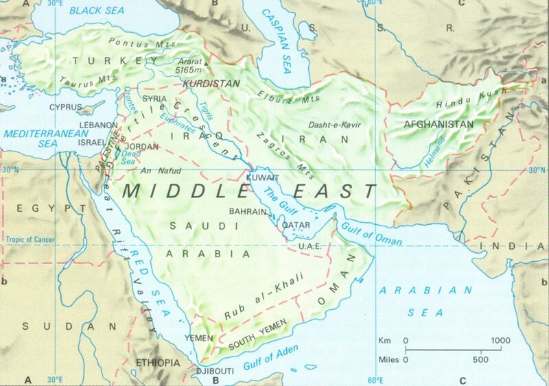
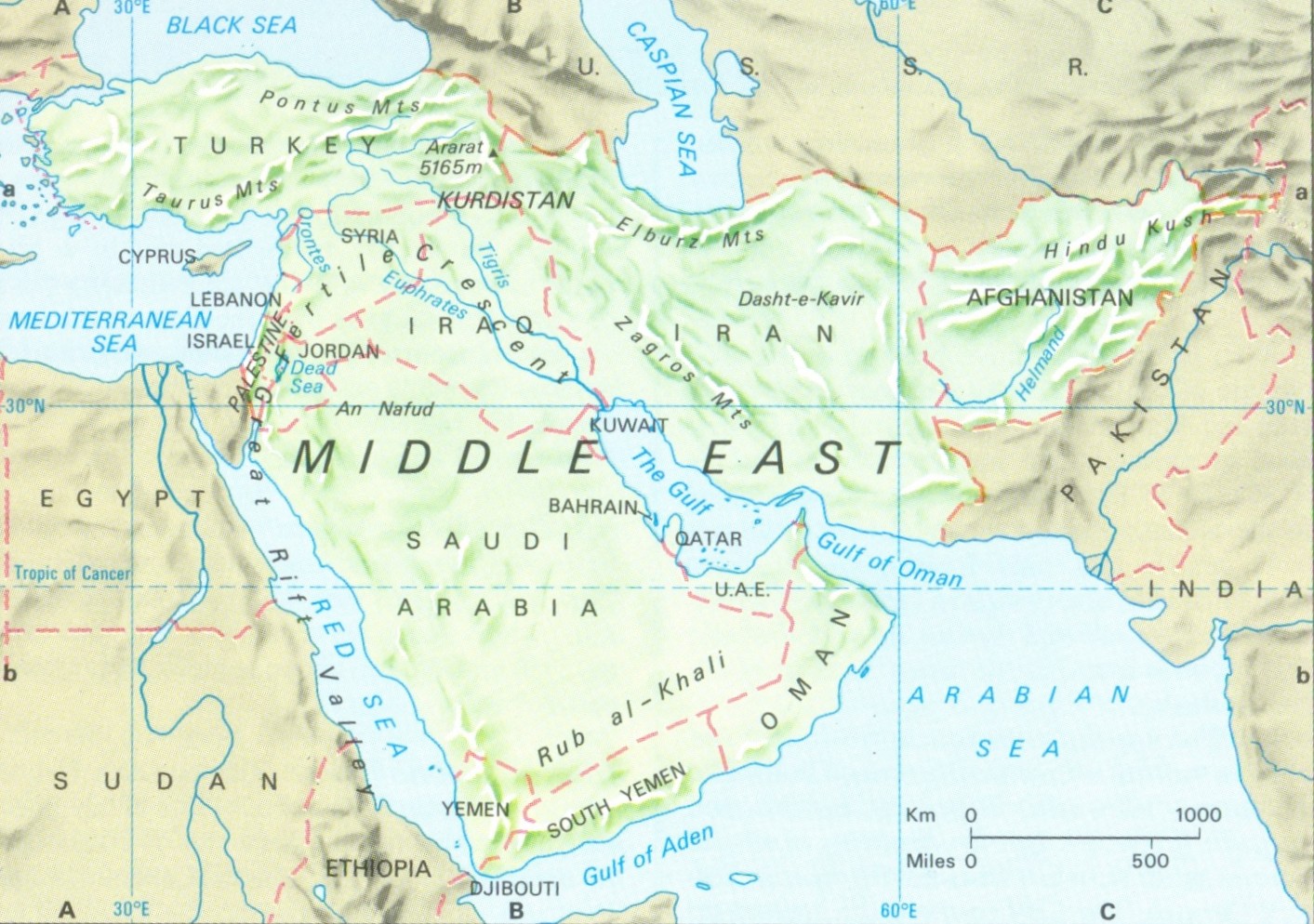
Size of this preview: 800 × 563 pixels. Other resolutions: 320 × 225 pixels | 1,413 × 994 pixels.
Original file (1,413 × 994 pixels, file size: 387 KB, MIME type: image/jpeg)
File history
Click on a date/time to view the file as it appeared at that time.
| Date/Time | Thumbnail | Dimensions | User | Comment | |
|---|---|---|---|---|---|
| current | 14:18, 14 January 2014 | | 1,413 × 994 (387 KB) | Lrburdak (talk | contribs) |
- You cannot overwrite this file.
File usage
The following 39 pages uses this file:
- Afghanistan
- Arab Desh
- Arabian Peninsula
- Assyria
- Bahrain
- Black Sea
- Caspian Sea
- Chabahar
- Coele-Syria
- Cyprus
- Ethiopia
- Fertile Crescent
- Hajar
- Hindu-Kush
- Iran
- Iraq
- Israel
- Jat History Thakur Deshraj/Chapter VI
- Jat Itihas Ki Bhumika/Pakistan Kya Hai
- Jordan
- Kaskar
- Ketumala
- Kurdistan
- Kuwait
- Lebanon
- Luristan
- Mesopotamia
- Oman
- Pakistan
- Palestine
- Qatar
- Red Sea
- Saudi Arabia
- Socotra
- Turkey
- Tyre
- West Asia
- Yemen
- Zagros Mountains