Category:Jammu and Kashmir District Maps
Media in category "Jammu and Kashmir District Maps"
The following 18 files are in this category, out of 18 total.
-
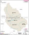
Anantnag-district-map.jpg 600 × 1,040; 107 KB
-
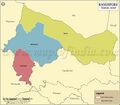
Bandipore-district-map.jpg 600 × 479; 71 KB
-
Bandipore-tehsil-map.jpg 800 × 700; 188 KB
-
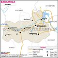
Baramula-district-map.jpg 600 × 600; 77 KB
-
Doda-district-map.jpg 600 × 401; 50 KB
-
Ganderbal-district-map.jpg 600 × 443; 50 KB
-
Jammu and Kashmir1.jpg 734 × 645; 167 KB
-
Jammu-district-map.jpg 600 × 421; 67 KB
-
Jammuandkashmir-district-map.jpg 800 × 631; 79 KB
-
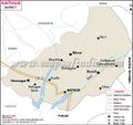
Kathua-district-map.jpg 600 × 567; 70 KB
-
Kishtwar-district-map.jpg 600 × 708; 62 KB
-
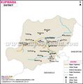
Kupwara-district-map.jpg 600 × 606; 59 KB
-
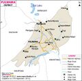
Pulwama-district-map.jpg 600 × 590; 70 KB
-
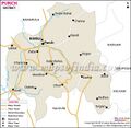
Punch-district-map.jpg 600 × 587; 72 KB
-
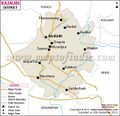
Rajouri-district-map.jpg 600 × 582; 78 KB
-
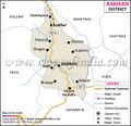
Ramban-district-map.jpg 600 × 582; 68 KB
-
Srinagar-district-map.jpg 600 × 423; 56 KB
-
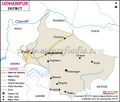
Udhampur-distric-map.jpg 600 × 511; 63 KB


