Laldhang
| Author:Laxman Burdak, IFS (R) |

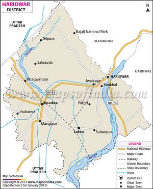
Laldhang (लालढांग) is a large village located in Hardwar Tehsil of Haridwar district, Uttarakhand. It is 19.4 km from Haridwar, and 27 km from Kotdwar.
Variants
Location
Laldhaang is located at 29.85°N 78.32°E. It has an average elevation of 372 metres . It is situated 19.4 km from Haridwar city at the edge of Rajaji National Park, off National Highway 74 (NH-74).
History
The main market of Laldhang has a Shiv Temple, with ‘Panchyatan Shivling’, brought from Panduwala, an archaeological site, two km. from Laldhang, where ruins of temples, and remains of earthenware dated to pre and post medieval period have been found.[1]
During the times of Najib-ud-Daula, the Nawab of Najibabad, the fort at Laldhang is known to have offered safe refuge during the wars between the Rohillas and the Nawab of Awadh. Here in 1752, after trying a siege, the Rohilla gave a bond to the Marathas as a release price [2]
After 1774, when the Rohilla power east of the Ganges was crushed, it was also the site where the final treaty by which the Bijnor territory of Rohilla was incorporated in Awadh, which was thereafter ceded to the British by the Nawab of Awadh, Shuja-ud-Daula in 1801 [3]
Edward Gibbon mentions "Loldong" as the nearby landmark for the unrecognized location of "Coupele," the scene of Timur's last victory on his march to Delhi. (Volume 6, Chapter 65)

