
Category:England Maps
Media in category "England Maps"
The following 20 files are in this category, out of 20 total.
-
 12. Tigate.jpg 3,264 × 2,448; 2.12 MB
-
 19. Location map Kensington.png 829 × 905; 831 KB
-
 7a. Saint James Park-5.JPG 5,184 × 3,888; 4.46 MB
-
 Anglo-Saxon England.png 736 × 900; 266 KB
-
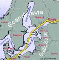 Baltic sea map with pipeline.jpg 578 × 590; 140 KB
-
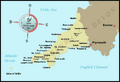
 Cornwall Map-1.jpg 466 × 350; 33 KB
-
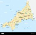
 Cornwall map-2.gif 787 × 538; 38 KB
-
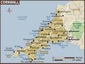
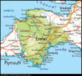
 Cornwall Map.jpg 1,300 × 1,273; 105 KB
-
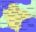
 Devon Map-1.gif 600 × 554; 85 KB
-
 Devon Map-2.jpg 238 × 212; 16 KB
-
 England-5.jpg 1,573 × 1,036; 830 KB
-
 Ferriter's Cove-1.png 986 × 311; 170 KB
-
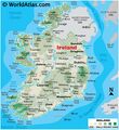 Ireland Map.jpg 3,448 × 3,771; 1.1 MB
-
 Isle of Wight Map.png 1,336 × 765; 311 KB
-
 JUTES in ENGLAND.jpg 303 × 350; 65 KB
-
 Lancashire Map.jpg 564 × 998; 74 KB
-
 Map of England and Scotland.jpg 306 × 350; 36 KB
-
 Map of England1.jpg 735 × 980; 448 KB
-
 Map of scotland.jpg 466 × 350; 55 KB
-
 North Sea.gif 280 × 374; 43 KB


