Category:Punjab Maps
Media in category "Punjab Maps"
The following 21 files are in this category, out of 21 total.
-
Amritsar map.JPG 568 × 426; 76 KB
-
Bathinda-district-map.gif 450 × 554; 62 KB
-
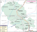
Faridkot-district-map.gif 450 × 393; 42 KB
-
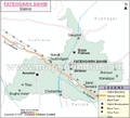
Fatehgarhsahib-district-map.gif 450 × 407; 38 KB
-
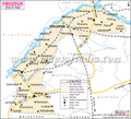
Firozpur district.gif 470 × 428; 67 KB
-
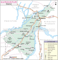
Gurdaspur District.gif 470 × 481; 62 KB
-
Hoshiarpur District.gif 470 × 619; 71 KB
-
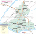
Jalandhar District.gif 470 × 446; 59 KB
-
Kapurthala District.gif 500 × 362; 44 KB
-
Ludhiana district.gif 500 × 271; 50 KB
-
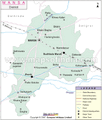
Mansa district.gif 500 × 586; 55 KB
-
Moga district.gif 500 × 396; 42 KB
-
Muktsar district.gif 500 × 697; 69 KB
-
Nawabshahr district.gif 500 × 291; 39 KB
-
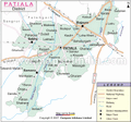
Patiala district.gif 500 × 466; 62 KB
-
Punjab map.png 800 × 577; 142 KB
-
Punjab State1.jpg 1,216 × 923; 810 KB
-
Punjab State2.jpg 1,216 × 736; 596 KB
-
Rupnagar.gif 470 × 767; 66 KB
-
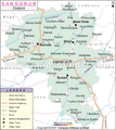
Sangrur district.gif 470 × 527; 74 KB
-
The Punjab region.jpg 1,000 × 822; 294 KB


