Chagai

Chagai (Urdu: چاغى) cityand District in the Balochistan province of Pakistan. Chagai District Westen Sanjrani Agency (also Chaghi) is the largest district of Pakistan.
Location
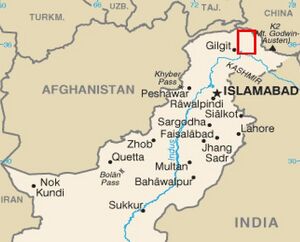
Chagai town is located at 29°18'0N 64°42'0E and has an elevation of 850 m (2791 ft). Chagai District is located on the north west corner of Balochistan, Pakistan.
History
V. S. Agrawala[1] mentions the names of Ayudhjivi Sanghas in the Panini's Sutras which include Damani (V.3.116) – There is a strong resemblance between the name of this Sangha and a powerful warlike tribe still known as Damani and settled in the north-western portion of Baluchistan known as Chagai lying to the south of Chagai Hills (Imp Gaz. Vol X, p.117).
In the 19th century it fell under Marris and Bugtis hand. To finish rebellion in the area as raised by Marri & Bugti Tribes, the British signed the treaty with Khan of Kalat in late 19th century where under the Sibi, Shalkot and Chagai territory leased out to British India.
Chagai Hills

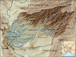
The Chagai Hills is a range of granite hills in the Chagai District in Pakistan's Balochistan province. The Chagai Hills lie in a desert area in the northernmost part of Chagai District north of Pakistan's Ras Koh Hills and south of Afghanistan's Helmand and Nimruz provinces.
Administration
Chagai District is administratively subdivided into the following tehsils:
Languages
References
- ↑ V. S. Agrawala: India as Known to Panini, 1953, p.443-444
Back to Jat Places in Pakistan

