Chu River
| Author:Laxman Burdak, IFS (Retd.) |

Chu River (चू नदी) (Shu or Chui, Chuy) is a river in northern Kyrgyzstan and southern Kazakhstan.
Chuy Oblast, the northernmost and most populous administrative region of Kyrgyzstan, is named after the river; so are the Chuy Avenue, the main street of Bishkek, and the city of Shu in Kazakhstan's Zhambyl Province.
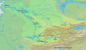
The Chu River is formed by the confluence of rivers Joon Aryk and Kochkor in Kochkor District of Naryn Province. After approaching lake Issyk Kul within a few kilometers (near Balykchy), without either flowing into the lake or draining it, it turns to the northwest.
As the Chu flows through the Chuy Valley, it forms the border between Kyrgyzstan and Kazakhstan for more than a hundred kilometers, but then it leaves Kyrgyzstan and flows into Kazakhstan, where, like many other rivers and streams that drain northern Kyrgyzstan it eventually disappears in the steppe, short of reaching the Syr Darya, into which it would drain in wet years.
History
The area of this river was originally home to the Iranian Sughds who spoke Soghdian, an East Iranian language.[1]
During the Middle Ages, the area was strategically important. It was the setting of Suayub, the capital of the Western Turkic Khaganate, and Balasagun, the capital of the Kara-Khitans.
Chu River posed a risk of flooding for settlements located in Chu Valley. In winter 1878, an ice gorge formed on Chu River upstream town Tokmok that was the center of Semirechye Province. This was followed by severe flooding that damaged the town and the center of the province was moved to Pishpek (Bishkek). After this, Tokmak gradually lost its significance.[2]

