Jatowala
| Author:Laxman Burdak, IFS (R) |

Jatowala (जाटोवाला) is a Village in Vikasnagar Block in Dehradun District of Uttarakhand State, India.
Location
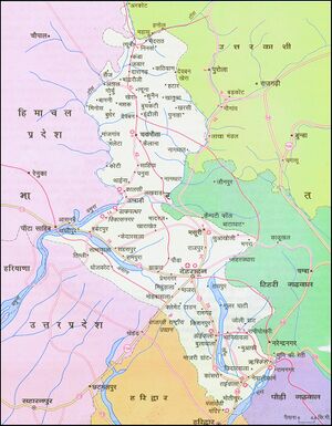
It is located 28 KM towards west from District head quarters Dehradun. 7 KM from Vikasnagar. 29 KM from State capital Dehradun. Tiparpur ( 1 KM ) , Mednipur Badripur ( 2 KM ) , Khushhal Pur ( 2 KM ) , Sabhawala ( 2 KM ) , Jassowlala ( 2 KM ) are the nearby Villages to Jatowala. Jatowala is surrounded by Sahaspur Block towards East , Paonta Sahib Block towards west , Dehradun Block towards East , Sadauli Qadeem Block towards South . This Place is in the border of the Dehradun District and Sirmaur District. Sirmaur District Paonta Sahib is west towards this place . It is near to the Himachal Pradesh State Border.[1]
History
External links
References
Back to Jat Villages

