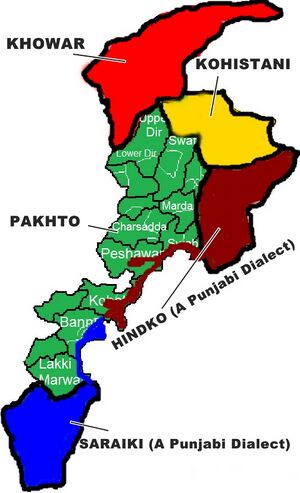
Kohistan Pakistan

- For region in Afghanistan see Kohistan.
Kohistan Pakistan (کوہستان, meaning "land of mountains"; Pashto: اباسين کوهستان), also called Abasin Kohistan or Indus Kohistan, was an administrative district within Pakistan's Khyber Pakhtunkhwa Province.
In 2014, the government bifurcated Kohistan Pakistan district into Upper Kohistan and Lower Kohistan, carving out one more administrative unit after which the total number of districts in the province has gone up to 26.
Location
Geographically, Kohistan stretches from the border with Kashmir and Gilgit Baltistan in the east and north to Swat and Shangla in the west, and Mansehra and Battagram District in the south.
Location
Origin of name
Tahsils
History
Kohistan has a rich local history as a crossroads between Central, South and Southwestern Asia. Predominantly inhabited by Dardic tribes since ancient times, Kohistan has been invaded and contested by Pashtuns, Persians, Greeks, Scythians, Kushans, Turks, Mughals and British.
Turks ruled the area since 1399, when Amir Taimur, left his battalion of thousands of Karlugh Turks in this region. Similarly the area of Alai and kohistan about Koli-Palus were under the Gabari Khangi of Nogaram. That rule continued util 1703, when Swatis attacked the area and Thakot Fort was occupied after a several months of strong resistance by Shamsher Khan Turks. After the fall of Thakot Fortress, no resistance was offered by Pakhli Sarkar, the Karlugh Turks ruler of the then Hazara and the whole region from Battagram to Mansehra was occupied by the Swatis.
Notable persons
External Links
References
Back to Jat Places in Pakistan

